Lab11 แบบจำลองเวกเตอร์
กำหนดประเด็นปัญหา
1.พื้นที่ที่ได้รับผลกระทบจากการสร้างเขื่อนในรัศมี
500 เมตร อยู่ในตำบล อำเภอ
และจังหวัดใดบ้าง และมีพื้นที่เท่าใด
2.การใช้ประโยชน์ที่ดินประเภทใดบ้างที่ได้รับผลกระทบจากการสร้างเขื่อนในรัศมี
500 เมตร และมีพื้นที่เท่าใด
กำหนดปัจจัยหรือตัวแปรที่ใช้วิเคราะห์
1.ขอบเขตเขื่อนป่าสักที่น้ำท่วมถึง
2.แผนที่ที่ใช้ประโยชน์ที่ดิน
3.ขอบเขตการปกครอง
การเตรียมข้อมูล
ได้แก่
การเชื่อมต่อข้อมูลการปรับแก้และตรวจสอบข้อมูล
สร้าง Folder Dam_ ชื่อเรา

เอาขอบเขตการปกครองมาป่าสัก มี a นำหน้า

เปิดข้อมูลที่มีตัว aนำหน้าทั้ง4 a5138i.shp, a5238iii.shp, a5238iv.shp, a5239iii.shp

รวมระวางโดยคำสั่ง Merge (Geoprocessing > Merge)

Input เลือกข้อมูลทั้ง 4 ระวาง

ไปที่ Output >Dam_fei
ชื่อ admin

เสร็จ กด Removeเลย

Remove ระวางทั้ง4 ออก

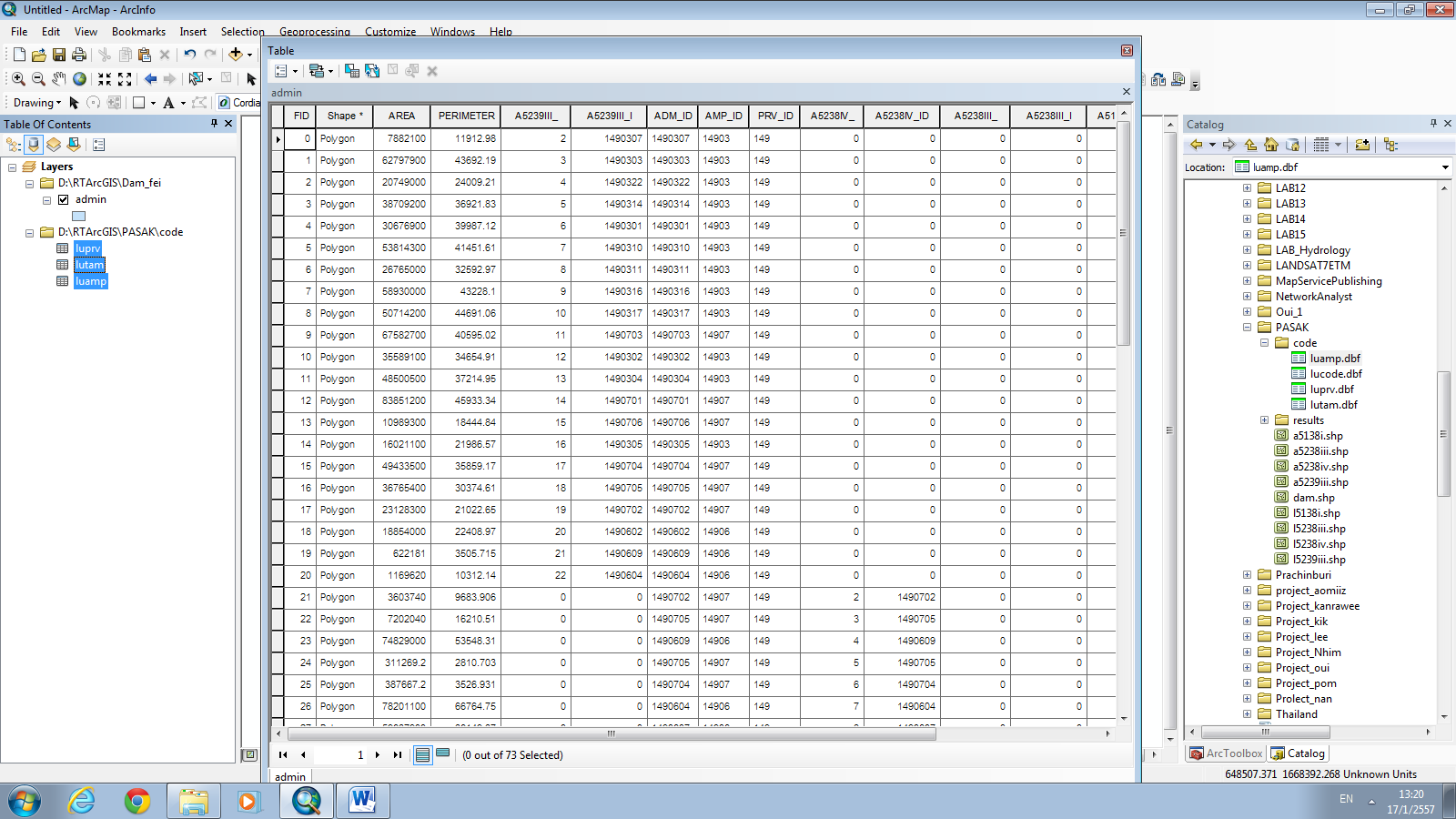
เปิด Open Attribute Table

จะปรากฏหน้าต่าง Table

รวมตารางเพื่อทำการให้รู้ชื่อตำบล เปิดFolder ที่ชื่อ
Code
ลากลงข้อมูล Inprv,lutam,luamp
เปิดข้อมูลจังหวัด
Clickขวาที่ luprv > Open

จะปรากฏ Join and Relates > Join

Join Data > 1.Choos the field this layer that the
join will be based on: > PRV_ID

ตารางที่ทำการ Join แล้ว

Clickขวาที่ luamp > Open

Table > Join and Relates > Join

Join Data > 3.Choose the field in the table to base the join on:
>AMP_ID

ภาพที่ทำการ Jion แล้ว

Clickขวาที่ lutam > Table >
Joins and Relates > Join

Join Data > 1.Choos the field this layer that the
join will be based on: > AMP_ID

ภาพที่ทำการ Join แล้ว

กด List By Drawing Order เพื่อให้เหลือเฉพาะข้อมูลที่เราต้องการ

ไปที่ Catalog > RtArcGIS >
PASAK > results > dam.shp

Geoprocessing > Buffer

Input > dam
Distance [value field] > Liner unit > 500 >
Meters

Output > ตั้งชื่อ dam500

ภาพจากการBuffer

ทำการClickขวาที่ Dam
> Remove Dam

Geoprocessing > Clip

Input > admin
Clip Feature > dam 500
Output > admin 500

จะปรากฏดังภาพ

เปิดข้อมูล results ทั้ง4 (l5138i.shp,l5138iii.shpl5238iv.shp,l5239iii.shp)

จะปรากฏดังภาพ

ทำการMerge> Input Datasets
> (l5138i.shp,l5138iii.shpl5238iv.shp,l5239iii.shp)
Output > ตั้งชื่อ
lu > Save

ภาพที่ได้จากการ Merge

Clickขวา lu > Open Attribute Table

Catalog > PASAK > code >
lucode.dbf

Join Data > 3.Choose the field in the table to base
the join on: >LUCODE

ภาพที่ได้จากการjoin

Geoprocessing > Clip

Input > lu
Clip Feature > dam500
Output Feature Class > lu500 > Save

ภาพที่ได้จากการClip

รวมได้หลัก2 intersect union
ถ้าลักษณะเหมือนกันใช้ได้ทั้ง 2 อย่าง
รวม lu500 และ admin500
Geoprocessing > Union

Input Features > lu 500,admin 500
Output Feature Class > Final

ภาพที่ได้จากการ Union

สร้างField ขึ้นมาใหม่ตั้งชื่อ
Area
ClickขวาFinal
> Table Options > Add Field..

Name > Area
Type > Float
Field Properties: Precision>20
:Scale
> 2

คำนวณพื้นที่ Click
ขวาที่ Area > Calculate Geometry >Property > Area > Ok

จะได้พื้นที่ดังภาพ

การแสดงผล ไปที่
Desktop > Excel

Open > Disk : D > RTArcGIS > Dam_fei >
Final.shp > Open

เลือก Final.dbf > Open

จะปรากฏข้อมูลดังภาพ

แสดงผล Insert > PivotTable
> PivotTable

Select a table or range >Table/Range
>Final!$A$1:$8P$441 >Ok

จะปรากฏหน้าต่างดังภาพ

ต้องการแสดงField ไหนติ๊กเครื่องหมายถูกเลย
(luprv_PRV1)ชื่อจังหวัด

(luamp_AMP1)ชื่ออำเภอ

( lutam_TAM_ )ชื่อตำบล

การใช้ประโยชน์ที่ดินในแต่ละจังหวัด

จำนวนพื้นที่ในแต่ละอำเภอ

แสดงจำนวนพื้นที่รวมในแต่ละจังหวัด


ลิงค์วิดิโอสาธิต
ไม่มีความคิดเห็น:
แสดงความคิดเห็น